931CVILLE LIVE
Clarksville Live Safety Map
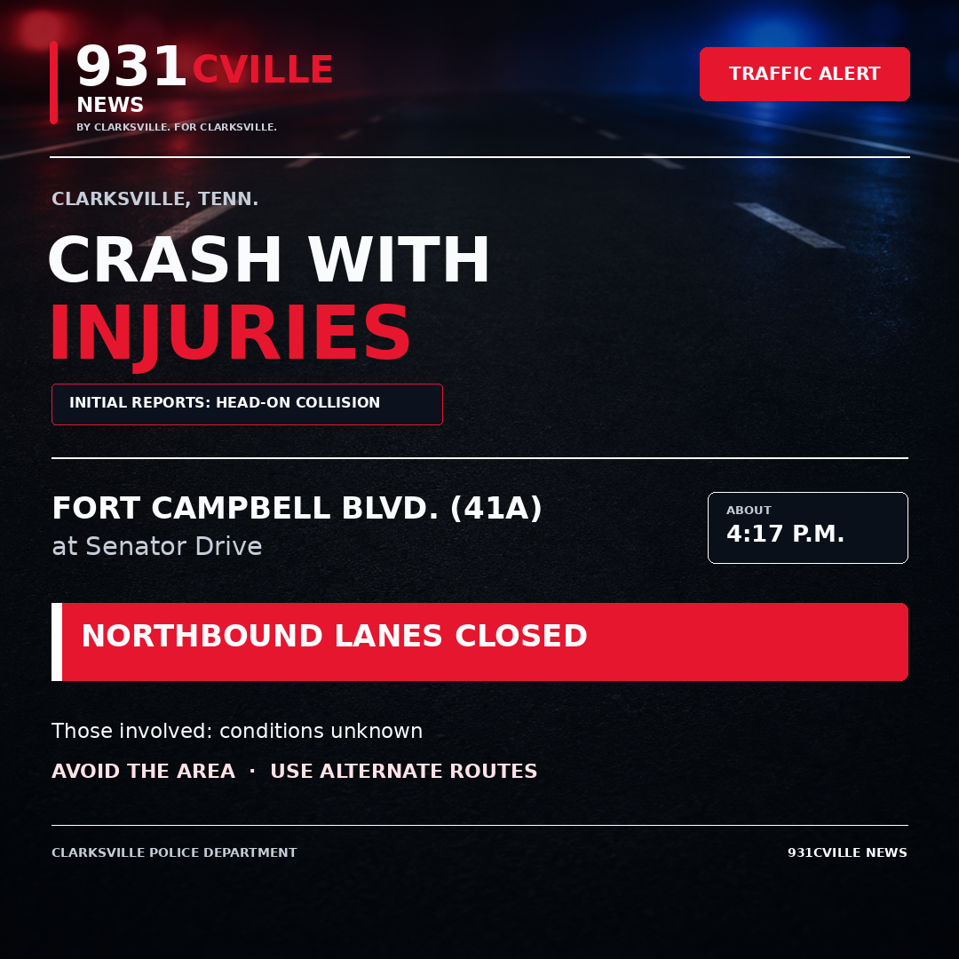
Active and recently cleared fire, medical, crash and roadway incidents from Clarksville-Montgomery County public incident sources.
PUBLIC FEED
Emergency? Call 911. The map checks public incident sources every 15 seconds. Calls remain active while listed by the source, are rechecked three times when missing, then appear as “Recently cleared” for 30 minutes. Crash and fire listings show the public incident address; medical house numbers remain hidden. Map pins are generalized.